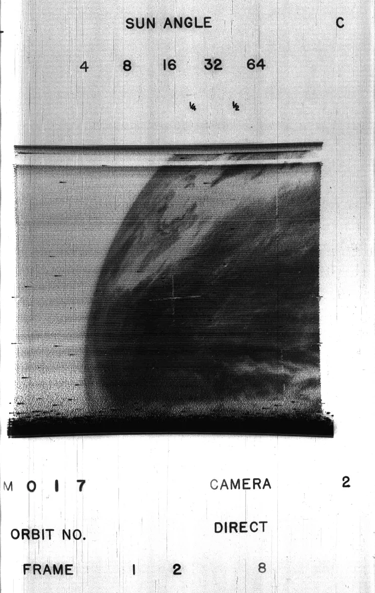
On April 1, 1960, NASA launched the Television Infrared Observation Satellite ( TIROS-1 ), the world’s first successful weather satellite. Weighing 270 lbs, the same as two baby hippos, the satellite was loaded with two television cameras and two video recorders to see the world's weather play out from its orbit above.
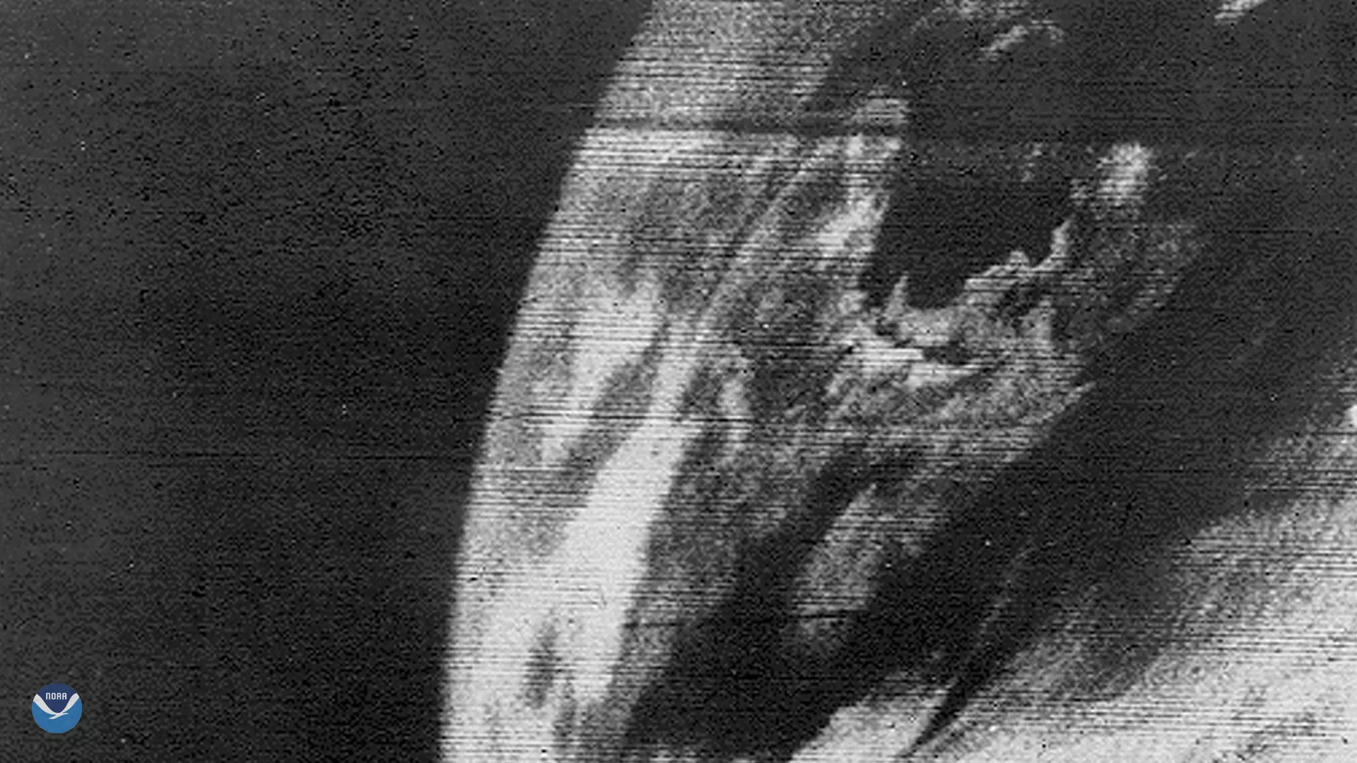
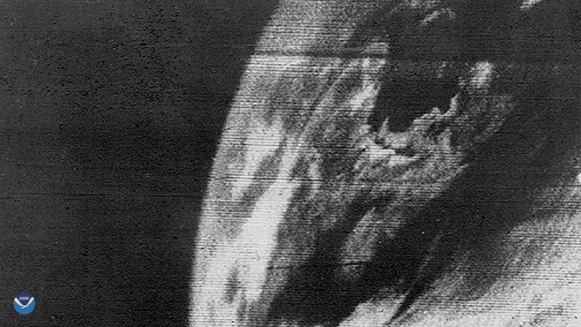
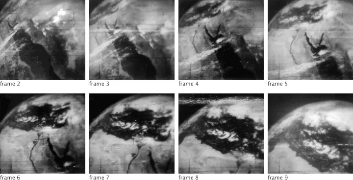
The Image of the Day is the first ever image from TIROS-1, showing North America and Canada. Another set of images, pictured below, is from its 44th orbit, and was made sometime between April 1 and June 18, 1960. The first image, Frame 2, shows the Red Sea and the Suez Canal, with the water in black and land in varying shades of gray. Clouds are depicted as nearly white. With each successive frame, the satellite shows more land as it moves northwest. By the last frame, you can see the shores of Egypt and Libya, along with some of the Mediterranean Sea.
During its 78-day lifespan, TIROS-1 orbited at a height of 450 miles above Earth and communicated with two command centers located in Fort Monmouth, New Jersey, and Kaena Point, Hawaii. Through radio waves, the satellite transmitted more than 23,000 images, with about 19,000 usable stills. They were then recorded on 35-mm negatives to later become photos.
Soon after the success of the first weather satellite, President John F. Kennedy, in 1961, committed over 75 million dollars—over half a billion dollars in today’s money—to “help give us at the earliest possible time a satellite system for worldwide weather observation.”
In 2021, thanks to the next generation of environmental observation satellites in orbit— GOES-R and JPSS —we are continuously improving our weather monitoring and prediction with state-of-the-art data and imagery while taking the time to look back at our humble beginnings. Here’s looking at you, kid—we mean, Earth!