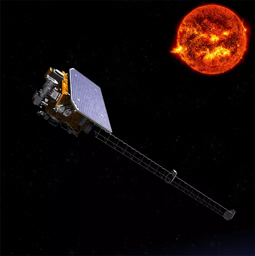
The National Oceanic and Atmospheric Administration (NOAA) has numerous duties and responsibilities. Of these various responsibilities, the measuring of data, gathering of information, and monitoring of activity for space weather are some of NOAA’s most important tasks. NOAA does this through the use of various satellites and ground services. In relation to gathering information and measuring data from our Sun, NOAA sends satellites up into space to orbit the Sun on the Earth-Sun line, a point known as Lagrange Point 1, or L1, which is approximately 1.5 million kilometers from our planet.
Since 1995, NOAA has relied on a variety of different satellites for space weather information and data. They are: the Deep Space Climate Observatory (DSCOVR), the National Aeronautics and Space Administration’s (NASA) Advanced Composition Explorer (ACE), and the European Space Agency (ESA) and NASA’s Solar and Heliospheric Observatory (SOHO), which have been providing solar wind observations and coronal imaging from the L1 orbit line. However, these satellites are long past their expiration date or designed life span. This is where NOAA’s newest satellite, the Space Weather Follow On L1 (SWFO-L1) comes into play.
The SWFO-L1 objective is to orbit the Sun to collect data and measurements. The SWFO-L1 project will use a suite of instruments to make real time measurements of the solar wind, thermal plasma, and the magnetic field. In addition, SWFO-L1 will have a Compact Coronagraph (CCOR) instrument to detect Coronal Mass Ejections (CMEs). The L1 orbit allows for continuous unobstructed observation of the corona without interference from the Earth.